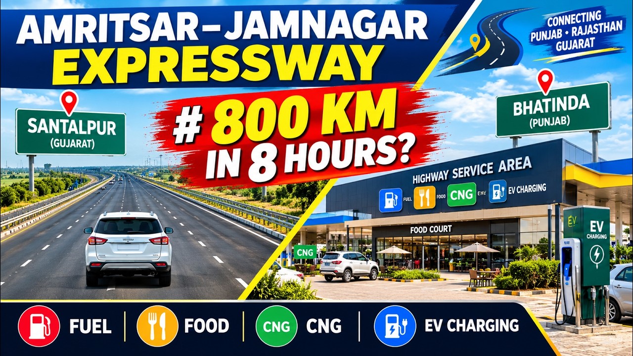

The Amritsar-Jamnagar Highway (NH54) offers a newly completed stretch that significantly enhances connectivity in the region. This journey begins at the exit toll plaza of the Amritsar-Jamnagar Expressway near the Chautala/Sangaria area, providing a direct route towards Sangat and Bathinda in Punjab. The Ghulatis On The Go team embarked on this drive to showcase the current road conditions and infrastructure of this vital corridor.
Previously, the team had covered the construction updates of the Amritsar-Jamnagar Expressway from Tibba Village, which is a junction connecting the Amritsar-Jamnagar Expressway and the Delhi-Katra Expressway, all the way to Dyalpura Bhaika near Bathinda, via Moga. This previous series provided a comprehensive look at the construction progress. Now, the focus shifts to the completed sections, offering travelers a clear picture of what to expect on this modern highway.
Starting the Journey on NH54
The drive commences from the Deshnuk/Chautala area Toll Plaza in Sangaria, marking the end of the Amritsar-Jamnagar Expressway and the beginning of the Amritsar-Jamnagar Highway (NH54). This transition point is crucial for understanding the seamless connectivity offered by the new infrastructure. The highway itself is a six-lane, fully developed road, featuring excellent lighting and clear road markings. The central verge is also well-prepared, indicating a high standard of construction throughout this section.
The initial stretch of the highway is notably smooth, allowing for a comfortable driving experience. The speed limit on this highway is 100 kilometers per hour, and the vehicle maintains this speed using cruise control. The road quality is consistently good, with no noticeable bumps or uneven joints, which contributes to a very pleasant drive. Street lights are installed continuously along the highway, ensuring good visibility for night driving, making it a viable option for travel at any time.
Key Locations and Connectivity
As the journey progresses, the highway passes through various points, including an exit for Dabwali. The route continues straight towards Bathinda, with clear signage indicating distances to upcoming towns. For instance, a sign board indicates Dabwali is 21 kilometers away, Bathinda is 55 kilometers, and Amritsar is 240 kilometers. This signage is helpful for drivers to plan their routes and understand their progress.
The Amritsar-Jamnagar Highway (NH54) is described as an important part of the larger Jamnagar Expressway project. The speaker notes that the Jamnagar Expressway, starting from Santalpur, will eventually connect to Amritsar, covering a distance of over 1,000 kilometers. Approximately 750 kilometers of this route pass through Gujarat and Rajasthan, with the remaining 250 kilometers in Punjab. This highway allows for direct travel to Bathinda without needing to exit the expressway, streamlining the journey for many travelers.
Toll Plaza and Road Conditions
Further along the route, the vehicle approaches a toll plaza located in Gurthari village, known as the Jassi Bagwali Toll Plaza. The toll plaza appears to be relatively empty, with minimal traffic, primarily consisting of trucks. This suggests that the highway is not heavily congested, offering a smooth passage for vehicles. The speaker notes that this highway is primarily a freight corridor, explaining the higher presence of trucks compared to private cars.
After passing the toll plaza, the highway continues towards Bathinda. Another sign indicates that Bathinda is now 22 kilometers away, and Amritsar is 217 kilometers. The road conditions remain excellent, with crash barriers installed throughout for safety. The central verge also features planted greenery, adding to the aesthetic appeal of the highway. The speed limit remains 100 kilometers per hour, and drivers are encouraged to adhere to it.
Unexpected Diversion and Future Plans
An unexpected turn in the journey occurs when the highway is found to be closed further ahead due to ongoing construction. This necessitates a diversion onto a service road, leading into Sangat village. This section of the road is unpaved and dusty, contrasting sharply with the smooth highway. This highlights that while significant progress has been made, some parts of the larger project are still under development.
Despite the temporary diversion, the overall vision for the Amritsar-Jamnagar Expressway is clear. The under-construction Amritsar-Jamnagar Expressway, coming from Dyalpura Bhaika, will eventually merge with NH54 at this point, creating a fully integrated route. This future connection promises even more seamless travel. Fuel stations, specifically Indian Oil outlets, are available on both sides of the highway, ensuring that drivers have access to necessary services. The presence of speed monitoring systems, although not always operational, indicates a commitment to road safety.
Practical Takeaways
The Amritsar-Jamnagar Highway (NH54) offers a high-quality, six-lane driving experience from Sangaria towards Bathinda. The road is well-maintained, with clear markings, good lighting, and safety features like crash barriers. While some sections of the broader Amritsar-Jamnagar Expressway are still under construction, the completed parts provide a smooth and efficient route. Travelers should be aware of potential diversions due to ongoing work, especially around areas like Sangat village. The highway's design, including fuel stations and speed limits, caters to a comfortable and safe journey, particularly for freight traffic. The future completion of the entire expressway will further enhance connectivity and reduce travel times between key regions.
Watch the Original Journey
This article is connected to the original Ghulatis On The Go video below. Watch it for the complete visual experience and conversations from the road.
Key moments from the video
Continue exploring
Related guides, articles, and videos
These recommendations are matched to this Journey Article using its locations, routes, vehicles, categories, and practical travel topics.
Recommended travel guide
India Highway & Expressway Guides
Helpful notes on expressways, national highways, road conditions, rest breaks, toll planning, and safe long-distance driving.
Open this topic guideRelated reading